


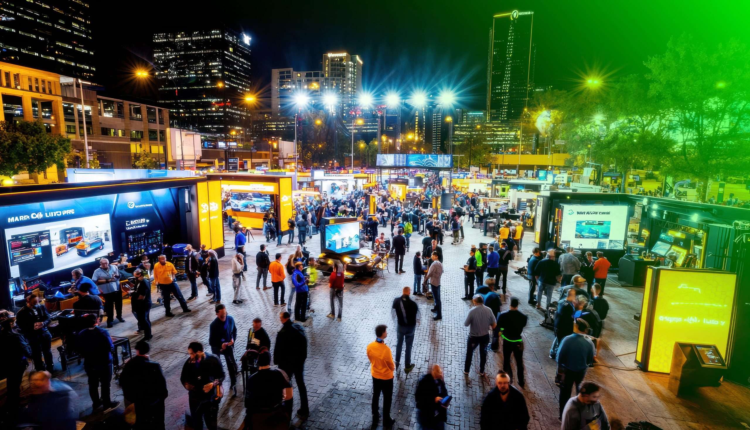
Digital wayfinding is the use of interactive maps, kiosks and connected signs to help people find their way through a venue. Unlike printed maps and fixed signs, it can be searched, gives a route and updates in real time, so a visitor can get from the car park to a seat, a clinic or a lecture room.
This guide is written for the people who run major events and venues: tournaments, race circuits, stadiums, university campuses, city districts, hospitals and airports. It covers what digital wayfinding includes, what changes when you move from static signage, the results events and venues have published, and the questions to ask a supplier. It is written by PAM (People And Movement), a digital wayfinding platform for premium events and venues. Its SmartMaps give fans outdoor and indoor mapping across city-scale events, stadiums and campuses. The figures in it come from our published customer case studies.
What does digital wayfinding include?
A digital wayfinding system has four connected parts. Most venues start with one or two and add the rest over time.
- An interactive map on the visitor’s phone. It shows the venue, lets people search for a place, and draws a route to it. The better ones open in the browser from a QR code or a link, with no app to download.
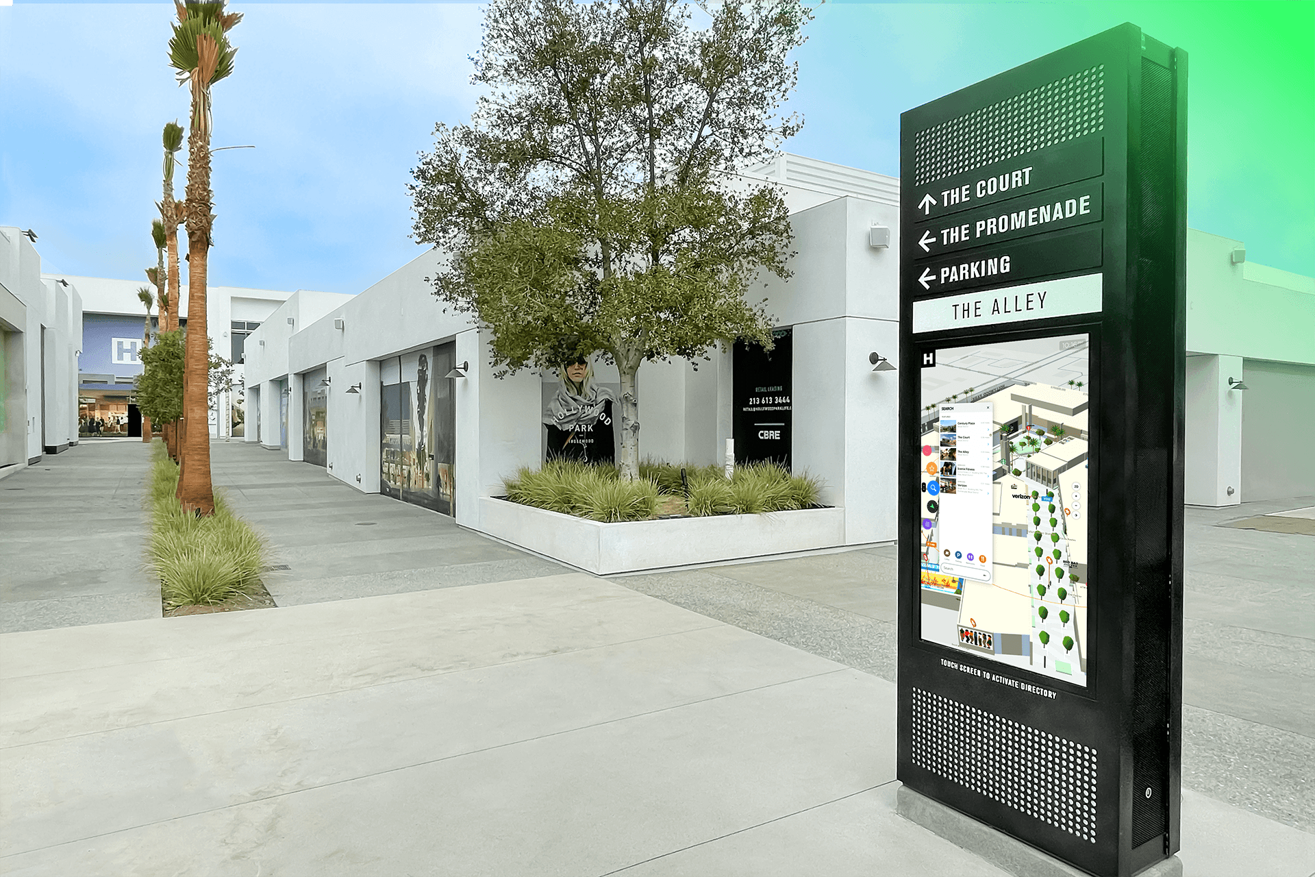
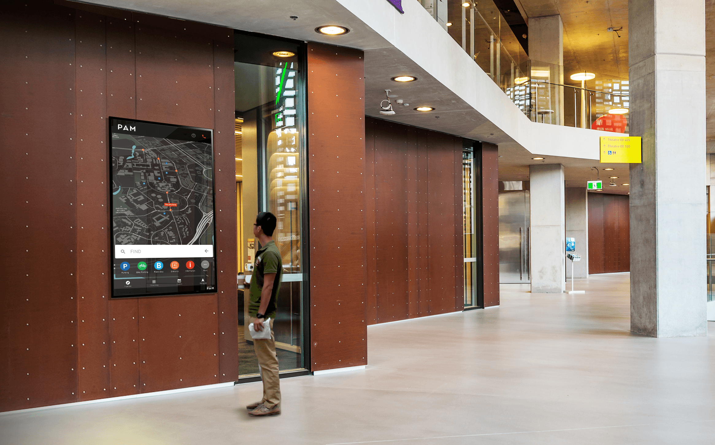
- Wayfinding kiosks. Touchscreens at entrances and decision points that show the same map to people who are not using a phone.
- Connected digital signs. Screens that show directions, gate status or event information and can be changed centrally in seconds.
- A content system and analytics behind them. One place where the venue team edits the map, names, closures and events, and one place to see what visitors searched for and where they went.
The real magic is that the four parts are connected and stay in sync. They share one source of truth, so when a gate closes or a room is renamed, the change is made once and the phone map, the kiosks and the signs all show it within seconds. A visitor never gets one answer from a sign and a different one from their phone. Indoor mapping and indoor navigation are the technology underneath: the floor plans turned into a searchable, routable map.
How is digital wayfinding different from static signage?
Printed maps and fixed signs still matter. People look up before they look down, and a good sign at a decision point is hard to beat. The difference is what happens when something changes, and what the venue learns.
Printed maps and fixed signs | Digital wayfinding | |
|---|---|---|
When something changes | Reprint or replace each sign | Edit once, every screen updates |
Finding a specific place | Scan a list or a legend | Search by name, category or keyword |
Directions | General arrows to zones | A route from where you are to where you are going |
Event days | One layout for every event | A different map for each event or mode |
Languages and access needs | Limited by space on the sign | Translated content and step-free routes |
What the venue learns | Nothing | Searches, routes and popular destinations |
Commercial use | Fixed sponsor panels | Sponsored places and links that can be measured |
The University of Technology Sydney, where PAM began in 2016, describes the old problem plainly. One name change could affect many signs across campus, which made signage expensive to keep correct. UTS now runs more than 8,000 signs across more than 20 buildings on the platform, as set out in the UTS case study.
Who uses digital wayfinding?
Any place that is large, changes often, or is visited by people who do not know it. The first-time visitor is the real test. The needs differ by venue type.
- Stadiums and arenas need to get tens of thousands of people from transport and parking to the right gate and seat, and to switch layouts between sport and concerts. See wayfinding for stadiums and how LAFC guides fans from car to seat.
- Major events are temporary cities. The map has to cover a precinct, a golf course or a street circuit that did not exist the week before. See wayfinding for major events.
- Universities welcome thousands of new students each year who need to find a first lecture. See campus wayfinding and how universities help students and visitors get around.
- Hospitals and airports serve people who are often anxious or short of time, and for whom a wrong turn has a real cost. See healthcare and airports.
- City districts join several venues, transport and retail into one visit. See districts and how digital maps connect a city during major events.
Does a visitor need to download an app?
Not with a browser-based map. Most visitors to a venue come a few times a year at most, and few will install an app for a single visit. A map that opens from a QR code on a sign, a ticket or a website removes that step. Where a venue or league already has an app with a large audience, the same map can sit inside it as well.
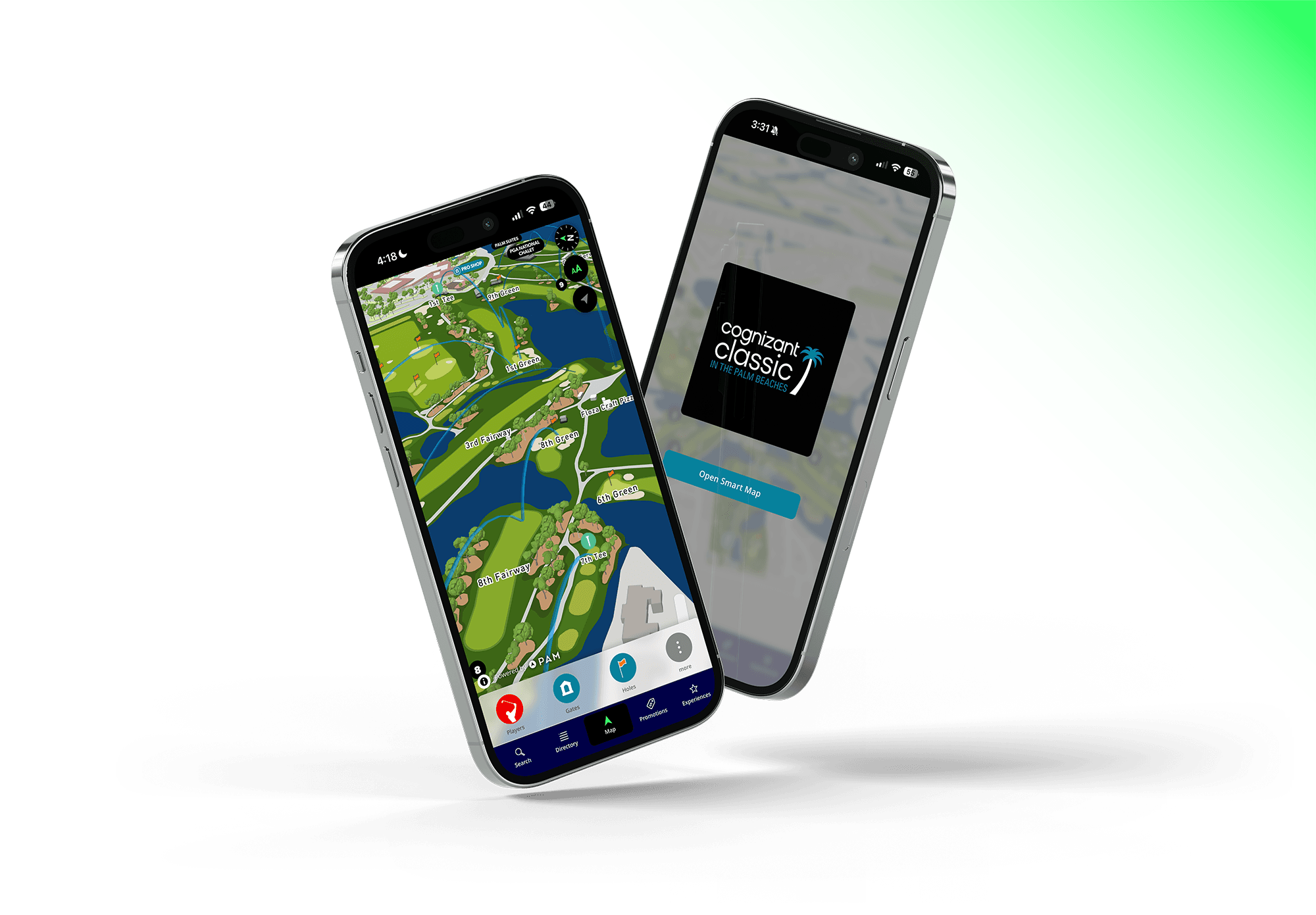
The Las Vegas Grand Prix did both in 2023, with the map inside the official app and on the event website. Across a sold-out event of 315,000 fans, one in three used the map: 91,500 unique users made 412,000 searches and 108,000 journeys. The detail is in the Las Vegas Grand Prix case study.
What results do venues see?
These are published figures from PAM customers. Each is for one venue and one period, and each links to its source.
- Australian Open, Melbourne Park. At AO24, 87,000 unique map users made 109,000 in-map searches. Tennis Australia reports more than 1.1 million fans served at AO 2025. Source: Australian Open case study.
- LAFC and BMO Stadium, Los Angeles. 79% of fans who opened the map went on to use it, across 10,211 active users, with an average session of 2 minutes 16 seconds. Source: LAFC case study.
- University of Technology Sydney. 30% of Orientation Day students used the map, on a campus of 46,000 students. Source: UTS case study.
- Truist Championship, 2025. 41% of fans engaged with the map, and sponsored placements in it drew a 32% click-through rate. This is a single event. Source: Truist Championship case study.
Two patterns show up across them. First, when the map is easy to open, a large share of visitors use it. Second, the searches are data the venue never had before: what people looked for, in what order, and what they could not find. We cover that in what your map data is telling you.
What does it take to put digital wayfinding in place?
- Gather the plans. Floor plans, site plans and the list of places people look for. CAD drawings or architectural PDFs are the usual starting point.
- Build the map. The supplier or your own team turns the plans into a searchable map with routes between every pair of places.
- Decide where people will meet it. QR codes on existing signs, links on tickets and the website, kiosks at entrances, screens at decision points.
- Agree who keeps it current. Name the team that changes the map on an event day. This matters more than any feature. See why a venue should own its map.
- Launch for one event or one term, then read the data. The first month of searches will tell you which names confuse people and which places need better signs.

What should a venue operator look for?
- Can visitors open the map without downloading an app?
- Can your own team change the map, or does every change go through the supplier?
- Do the phone map, kiosks and signs run from one system, or are they separate products?
- Can the map switch between event layouts, and how long does a switch take?
- Does routing cover the journey outside the building: parking, transport and the walk in?
- Are step-free routes and other languages supported?
- What analytics come as standard, and can you export them?
- Does the supplier hold an independent security attestation such as SOC 2 Type II?
- Can you speak to a venue of your type that is already live?
How does PAM approach digital wayfinding?
PAM360Live is the suite a venue buys. It includes SmartMaps, the browser-based map that opens from a QR code; Smart Signs, which covers kiosks and digital signage; and PAMalytics for the data. They run on PAMOS, the operating system underneath, so a change made once appears everywhere. The venue team owns the map and can change it directly. You can try a live map on the See PAM page.
Frequently asked questions
What is the difference between digital wayfinding and indoor navigation?
Digital wayfinding is the whole service a visitor meets: maps, kiosks, signs and the content behind them. Indoor navigation is one function within it, the turn-by-turn route from one place inside a building to another. A venue can have digital wayfinding without live positioning, for example a kiosk map that draws a route from the kiosk.
Is digital wayfinding only for large venues?
No, but the case is strongest where a venue is complex, changes often, or is visited by people who do not know it. A single-building site with a stable layout may be well served by good fixed signs and a simple web map.
Does digital wayfinding replace physical signs?
It works alongside them. Fixed signs handle the main flows and carry the QR codes that open the map. The digital layer handles search, personal routes, changes on the day and anything that would not fit on a sign.
How long does it take to go live?
It depends on the size of the venue and the state of the plans. With current plans and a clear list of places, a browser-based map for a single venue is typically live in weeks. Kiosks and signage add hardware lead time.
How do venues pay for digital wayfinding?
Usually as a subscription to the platform, with hardware bought or leased separately. Some venues offset the cost with sponsorship inside the map, through three SmartMap revenue streams. At the 2025 Truist Championship, sponsored placements in the map drew a 32% click-through rate against a 0.5% benchmark for display advertising.